
Lake Naivasha
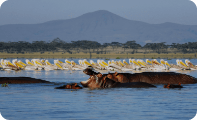
At Lake Naivasha, relish boat safaris, discover diverse birdlife, and unwind in serene lakeside retreats amid the scenic beauty of the surroundings.
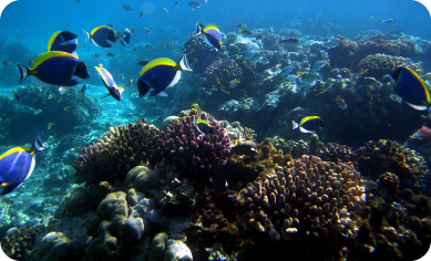
Kilifi Coast

At Kilifi’s coast, enjoy snorkeling in clear waters, discover local history on beach walks, and relish sunsets with seaside dining
Ol Pajeta Conservancy
At Ol Pejeta Conservancy, experience wildlife wonders through safari adventures, explore the rich ecosystem on guided walks, and embrace the beauty of nature while unwinding at serene lodges.
Chalbi Desert
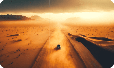
In Chalbi Desert, embark on desert safaris, discover the unique landscape on guided walks, and experience tranquility at desert campsites.
The Great Rift Valley
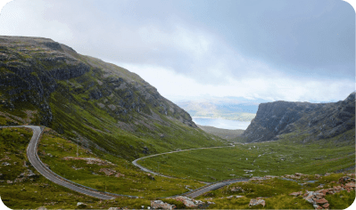
The Great Rift Valley, enjoy scenic hikes, explore the diverse terrain on guided walks, and capture breathtaking views from viewpoints along the escarpment
Nairobi Museum
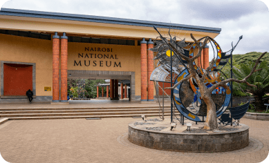
At Nairobi Museum, delve into rich exhibits, explore diverse artifacts, and gain insights into cultural heritage through engaging displays.
Giraffe Center
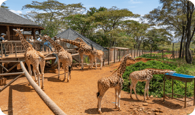
At the Giraffe Center, get up close with gentle giants, feed and learn about giraffes, and enjoy a unique wildlife encounter in a conservation setting.